La Harborina : Différence entre versions
Un article de WikiSimland 3.0.
| Ligne 3: | Ligne 3: | ||
|+ style="font-size: 1.25em;" | {{nobr|'''[[Villes de Simland]]'''}} | |+ style="font-size: 1.25em;" | {{nobr|'''[[Villes de Simland]]'''}} | ||
|- | |- | ||
| − | | colspan="2" align="center" |<br>[[Fichier:Drapeau_Harborina_Moyen.jpg|300px]]<br>[[Fichier:Blason_Harborina.jpg]]<br> <small><b>''Drapeau & Héraldique de La Harborina''</b></small> | + | | colspan="2" align="center" |<br>[[Fichier:Drapeau_Harborina_Moyen.jpg|300px]]<br>[[Fichier:Blason_Harborina.jpg]]<br> <small><b>''Drapeau & Héraldique de La Harborina|300px''</b></small> |
|- | |- | ||
| colspan="2" align="center" valign="middle" height="10" style="font-weight; font-size: 1em; background: #960018; color: #ffffff" | Localisation | | colspan="2" align="center" valign="middle" height="10" style="font-weight; font-size: 1em; background: #960018; color: #ffffff" | Localisation | ||
Version du 14 mai 2014 à 15:35
| LA HARBORINA | |
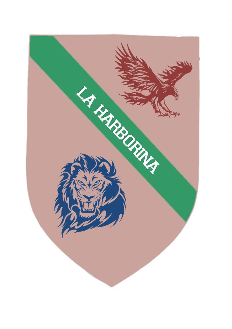
  Drapeau & Héraldique de La Harborina|300px | |
| Localisation | |
| Pays | Fédération de Simland |
| État | Papaya |
| District | English Harbor |
 Localisation de La Harborina (©Cartographie Nationale) | |
| Administration | |
| Maire | John Von Litchen |
| Code Postal | bientot |
| Indicatif téléphonique | en cours |
| Démographie | |
| Population (2013) | 810.989.989 hab |
| Agglomération | 2.212.342 hab |
| Densité | 1.193 hab. au km² |
| Langues officielles | Français, Espagnol, Anglais |
| Économie | |
| Budget | 1,2 Mrd § |
| PIB | $240.89B |
| PIB/Habitants | $59 215 |
| Taux de Chômage | 6,6% |
| Aéroport | Aéroport International de Constancy Charles 3 |
| Géographie | |
| Superficie | 1854 km² |
| Altitude | de +30 m à +161 m |
| fuseau horaire | UTC-10 |
| Divers | |
| Fondation | 1878 |
| Devise | Nous Résistons / We Resist / Resistimos |
| Jumelage | |
| Classement universitaire | Gamma |
| Villes de Papaya | |
|---|---|
| Capitale : Utopia Capitales des Etats : Sun City (Comores) • Utopia (Apach et capitale fédérale) • Ramur City (Grand Sud) • Las Islas Carlottas (Picaros) |
|