Réseau routier national : Différence entre versions
Un article de WikiSimland 3.0.
| Ligne 8: | Ligne 8: | ||
! scope="row" style="font-weight: bold;" | [[Autoroute A1|A1]] | ! scope="row" style="font-weight: bold;" | [[Autoroute A1|A1]] | ||
! scope="col" | Nord-Sud | ! scope="col" | Nord-Sud | ||
| − | |||
| Centrale | | Centrale | ||
| [[Oldenburg]] ([[Grand Nord|GN]]) <-> [[Sun City]] ([[Comores|CM]]) | | [[Oldenburg]] ([[Grand Nord|GN]]) <-> [[Sun City]] ([[Comores|CM]]) | ||
Version du 10 mars 2012 à 19:23
Tableau des routes nationales
Routes nationales de 1 à 50
| [[Fichier:|70px]] | A1 | Nord-Sud | Centrale | Oldenburg (GN) <-> Sun City (CM) | 3000km |
|---|---|---|---|---|---|
| |
N2 | Nord-Sud | Situation/Surnom | Novaya Tulsk<-> Sun City (CO) | Longueur |
| |
N3 | Nord-Sud | Aucun surnom | Schlossberg (GN) <-> Cap Ten (AP) | Longueur |

|
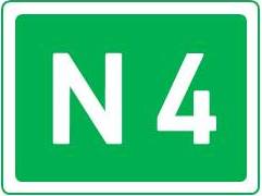
N4 | Ouest-Est | Aucun surnom | Russie-Eskjö-Weißpitze-Årnac La Vieille-Thurgau im Wald-Napa-Sonoma-Saint-Laurent-Junetown-New Amsterdam | Longueur |

|
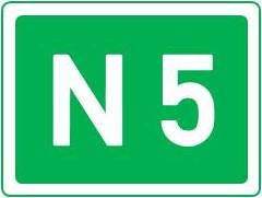
N5 | Ouest-Est | Aucun surnom | N2-Thulaktavard-Orochatel-Saint Louis sur Avalon-Hopecity-Océan Pacifique | Longueur |

|
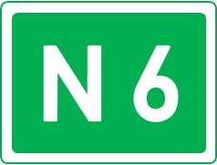
N6 | Sud-Nord | Aucun surnom | Quatre Vingts-Guggisberg-Los Antarès | Longueur |